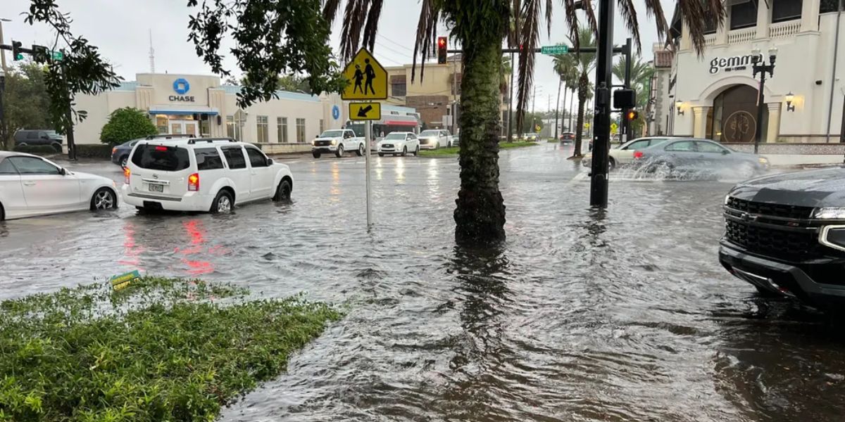
As an area of low pressure driven by tropical moisture from the Gulf and Caribbean forms over South Florida, Florida is expected to experience days of intense rainfall this week, increasing the risk of flash flooding.
The National Hurricane Center (NHC) has designated this system as an area of interest near the southeast coast of the United States because it may even develop some tropical characteristics by the end of the week.
Michael Brennan, the director of NHC, hinted that the system would need more observation.
Although there is disagreement among computer forecast models about the precise path of this system, the most of the rain is predicted to fall in South Florida. By Friday, there could be three to five inches of rain in Miami, Fort Lauderdale, and West Palm Beach.
NOAA’s Weather Prediction Center has issued a Level 2 out of 4 flash flood warning for South Florida on Tuesday.
Will a tropical storm or tropical depression form?
Forecasters are keeping a careful eye on this system to see if any tropical traits emerge. On Monday afternoon, the NHC delineated the region off the southeast coast of the United States.
The degree to which this system remains near to land is a key determinant of tropical development.
It is anticipated that the low will stay over land or relatively near the shore, limiting the possibility of early organization.
Related Story: New Forecast Predicts Timing of First Potential Tropical Storm Targeting Florida
However, there may be little likelihood of tropical development if the system shifts away from the southeast coast of the United States.
By Thursday, more tropical moisture is predicted to reach Florida, increasing the likelihood of thunderstorms on Thursday and Friday.
As the Sunshine State’s dry season draws to a close, the rain from this system might help ease some of the lingering drought conditions in Florida.