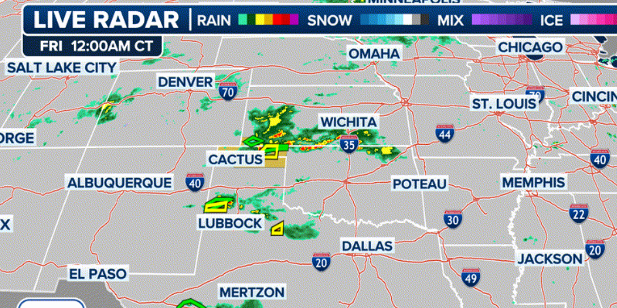
As a number of frontal boundaries and related moisture converge along the western side of an Atlantic ridge of high pressure, strong to severe thunderstorms are predicted to persist throughout the weekend and into the next week over a large area of the central and southern United States.
As the nation moves further into meteorological summer, any thunderstorms that form over the next few days might deliver enormous hail, damaging wind gusts, and perhaps an isolated tornado.
However, the number of severe weather reports may vary from a few dozen to several hundred, and some days may be more active than others based on daily atmospheric circumstances.
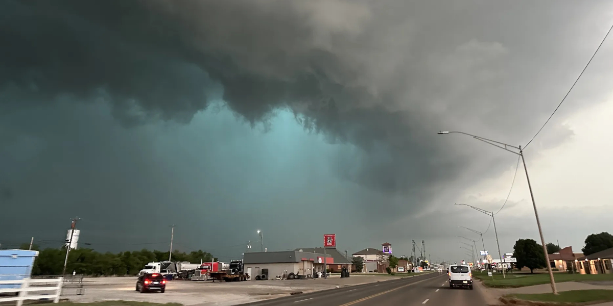
From the U.S.-Mexico border to northern Oklahoma, severe thunderstorm and tornado watches were in effect on Thursday. The first tornado of the day was observed in eastern Arizona.
A cell that rushed out of New Mexico and into West Texas had a different scenario, although the landspout formed in a rural region and no damage was reported.
Lubbock, Texas, was affected by a number of the supercell’s enormous, dusty twisters.
Some of the action was even seen in Las Vegas, where reports of the uncommon sight of hail were made.
Hail up to the size of a quarter dropped across portions of southern Nevada, according to the local National Weather Service office. This is somewhat unusual because the atmosphere typically doesn’t allow ice to reach the surface.
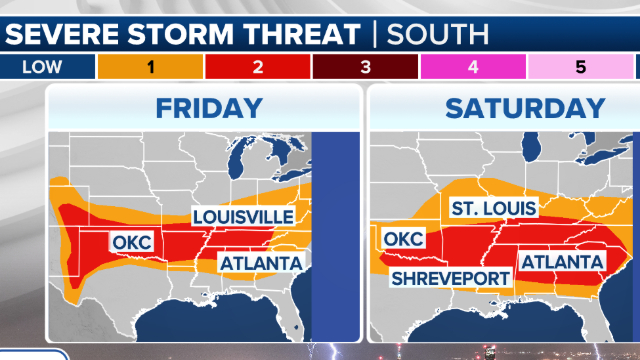
The SPC rated parts of the Plains and Mid-South as a Level 2 out of 5 hazard, although almost 88 million people are at risk of severe weather on Friday.
The Mississippi Valley and Southeast, which are home to over 40 million people, are then under a Level 2 out of 5 threat from severe weather on Saturday.
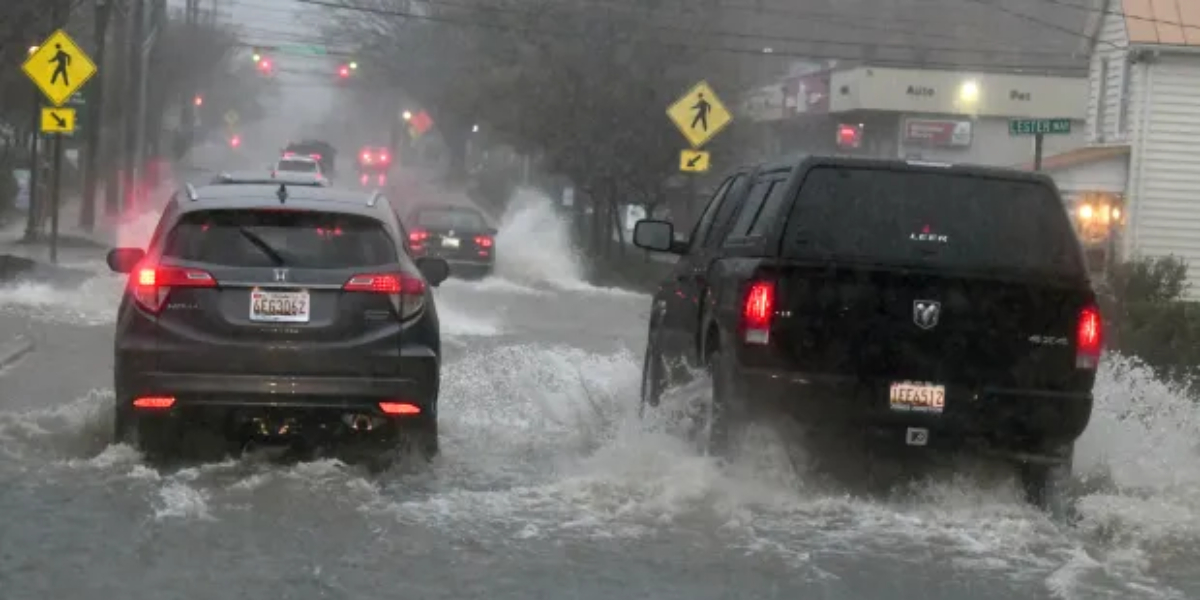
Any thunderstorm that arises has the potential to be fatal because it can produce severe cloud-to-ground lightning and copious rains.
Cities like Oklahoma City, Nashville, and Huntsville, Alabama, may receive anything from half a foot to more than a foot of rain in the upcoming weeks unless there is a major change in the general weather trend.
The prediction closely matches a NOAA Climate Prediction Center outlook that predicted above-normal precipitation in regions receiving it through the first month of meteorological summer.
Read Also: Storm Weakens Near Carolinas, Southeast Urged to Prepare for Flash Floods
Some people are happy about the wet pattern, particularly those who might otherwise have to deal with triple-digit heat and drought conditions, while others might not be as lucky.
One area to keep a close eye on is the Upper Midwest, where precipitation may be problematic and affect the state of agricultural products.
This area, which is referred to as the “breadbasket” of the country, is where crops like corn, wheat, and cereals are thought to be growing.
Insufficient rainfall in the upcoming weeks could raise worries about the condition and health of crops.
Conversely, the Southeast coast will be a region to monitor to see if any of these storm complexes can reach as far south as places like Jacksonville, Florida, or Charleston, South Carolina—communities that don’t require additional rainfall in the near future because they just had a tropical moisture wave.