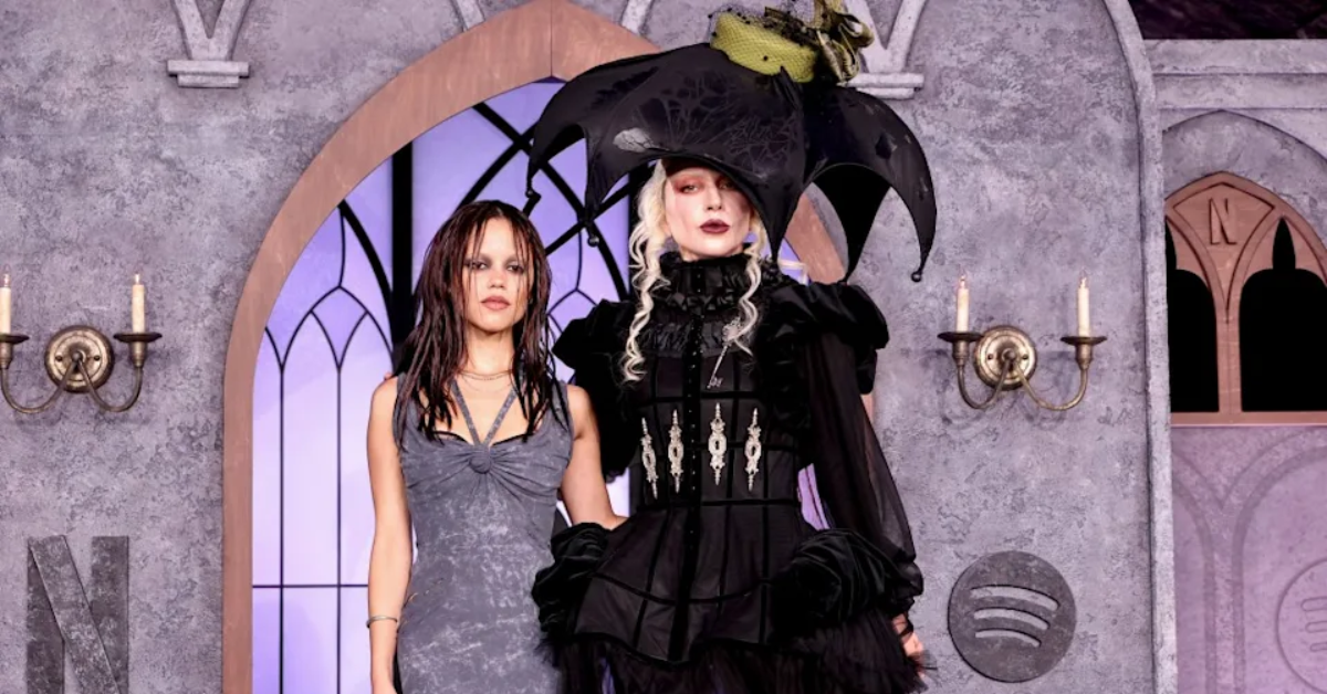
Los Angeles, CA – At the highly anticipated Netflix premiere of Wednesday season two, Joy Sunday stole the spotlight with a stunning gothic-inspired look that perfectly captured her character’s essence and her own rising status as a style icon. The Nigerian-American actress, known for her role as Bianca Barclay, brought undeniable main character energy to the red carpet, showcasing a captivating blend of classic gothic glam and modern fashion flair.
Joy Sunday’s Sinister and Stylish Red Carpet Look
At the event, Joy Sunday’s outfit was nothing short of show-stopping. She wore a strapless black mini dress adorned with bold white polka dots, embracing a fitted silhouette that hugged her figure gracefully. The dress featured cascading ruffles down the front, adding a textured and dramatic flair that amplified the visual impact of her ensemble.
Complementing the dress were sheer black tights and sleek black pumps, evoking the iconic dark aesthetic known from the Wednesday Addams character, but with a sexy, contemporary twist. Joy completed her look with a matching polka-dot headscarf and a pair of elegant black sunglasses, linking Old Hollywood glamour with a touch of gothic camp.

“Her glam was just as flawless. A bold crimson lip anchored the look, while winged liner sharpened her gaze with just the right amount of drama,” noted fashion commentators.
Why Joy Sunday is a Rising Fashion Star to Watch
Joy Sunday is more than just an actress stepping deeper into her roles; she is fast becoming one of Hollywood’s most exciting Black woman it girls. Her style consistently blends nostalgia with modernity, theatrical elements with wearable designs, and playfulness with power—all traits that resonate in today’s fashion landscape.
- Nostalgic yet modern fashion choices
- Theatrical yet wearable outfits that command attention
- Playful but powerful aesthetics that align perfectly with her on-screen personas
As Bianca Barclay rules the halls of Nevermore Academy on-screen, Joy Sunday is undoubtedly poised to rule the red carpet in real life. Her emergence as a fashion icon signals exciting developments both in her career and within the world of celebrity style.

For a closer look at her memorable red carpet appearance and more fashion insights, visit the original article on NewsBreak.
What Do You Think About Joy Sunday’s Gothic Glam Look?
We want to hear from you! How do you feel about Joy Sunday’s bold, gothic-inspired style at the Wednesday season two premiere? Share your thoughts in the comments below and let us know if you’re inspired to try a similar look!