New Jersey residents have endured a scorching summer so far—but will August bring any relief from the persistent heat? According to early forecasts, New Jersey is expected to remain warmer than average through much of the month, with only brief windows of cooler temperatures.
Above-Average Temperatures Continue
According to data from the National Weather Service and recent outlooks from the Climate Prediction Center, much of the Garden State will likely experience above-normal temperatures for the first two weeks of August. Daytime highs could consistently remain in the upper 80s to low 90s, especially in central and southern regions of the state.
The NOAA Climate Prediction Center indicates a 60-70% probability of above-average temperatures in the Mid-Atlantic region, including New Jersey, through mid-August.
When Could Cooler Air Arrive?
There are signs that late August may bring periodic cool fronts, offering temporary relief. Meteorologists suggest that the third and fourth weeks of the month could bring some below-average nighttime lows and reduced humidity, especially after thunderstorm activity.
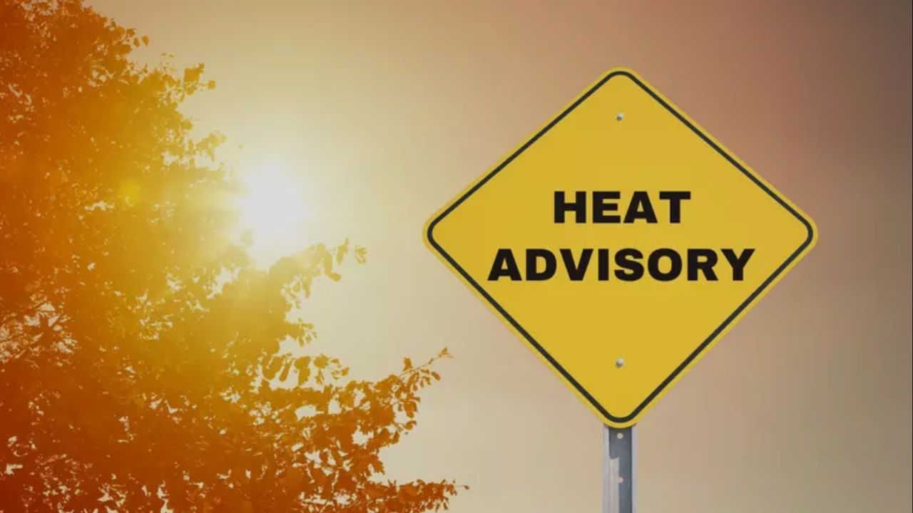
Still, heat index values could spike during isolated heatwaves, prompting the need for ongoing air quality alerts and hydration advisories.
What About Rain and Storms?
Precipitation for August is expected to be near normal, though scattered thunderstorms may still bring localized flooding, especially in urban zones. As tropical storm season ramps up, coastal New Jersey could see occasional rain events driven by offshore systems.
Health and Safety Reminders
Officials are urging residents to remain vigilant about heat exhaustion, particularly among young children, older adults, and outdoor workers. Cooling centers will continue to be available in high-risk counties during heat advisories.
Are you hoping for cooler nights or already prepping for more 90-degree days? Share your experience and your local forecast insights in the comments section on NewYorkDailyGazette.com.