
Our typical high for this time of year is 86 degrees, but it was another day with highs in the lower 90s.
There will be some wind later this afternoon due to a low-pressure system that is rotating west of us. Winds will already be increasing throughout the state due to today’s tightening pressure gradient. Today and tomorrow, the Valley could expect southwesterly winds of 10 to 15 mph, with somewhat stronger winds in the state’s higher altitudes.
Red Flag Warnings and a Fire Weather Watch are in effect through tomorrow for parts of Eastern Arizona due to the dry weather and higher winds. Additionally, a blowing dust advisory and a wind advisory are in effect for some locations.
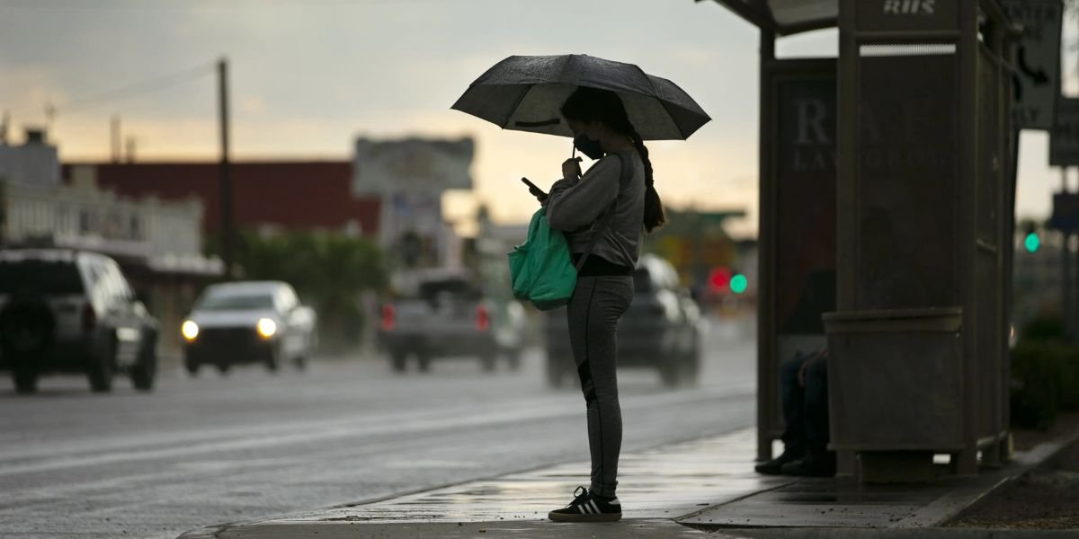
Additionally, until Saturday morning, there is a remote chance of a few light showers across the Valley due to this low. Snow levels will decrease to about 6,500 feet in the high country, and through Saturday, some places may receive 1-3 inches of snowfall. The San Francisco Peaks might receive 5–10 inches of snow.
The temperature decrease with this system is the main story. Tomorrow, the Valley will have highs in the lower 80s, and Friday and Saturday will see temperatures in the 70s.
The Valley has a very low chance of rain, usually between 10 and 20 percent on Friday and Friday evening. Although there may be a few persistent showers on Saturday morning, models now predict that the storm system will move out more quickly.
With lows in the mid-50s to begin the morning, Easter Sunday looks fantastic. There will be a lot of sunshine and mid-80s afternoon temps.
We will begin the workweek with lots of sunshine because next week’s temps will be in the lower 90s.

