Despite the fact that a tropical disturbance that is located close to the northern Gulf Coast has a limited window of opportunity to develop, it nevertheless provides a risk of flooding rainfall, particularly in Louisiana.
“Invest 93L” is the name given by the National Hurricane Center to the tropical disturbance that is now traveling westward and has its center close to the northern Gulf Coast.
At this point, the likelihood of it developing into a tropical depression before it moves over land and up the lower Mississippi Valley is extremely low.
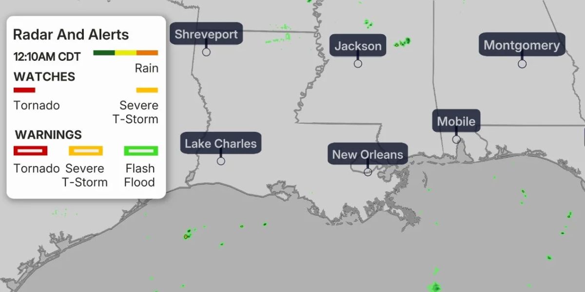
The radar graphic at the bottom of this page demonstrates that areas of locally heavy rain have already moved westward into parts of Louisiana state.
An advisory for flooding was issued early on Thursday morning for several areas in the southeast region of Louisiana, including Baton Rouge.
According to the National Weather Service, there were a few spots in the vicinity of Houma and Morgan City, Louisiana, that had already received anything from two to eight inches of rain.
Read Also: Residents Urged to Stay Alert as Flash Flood Warning Hits Coconino County
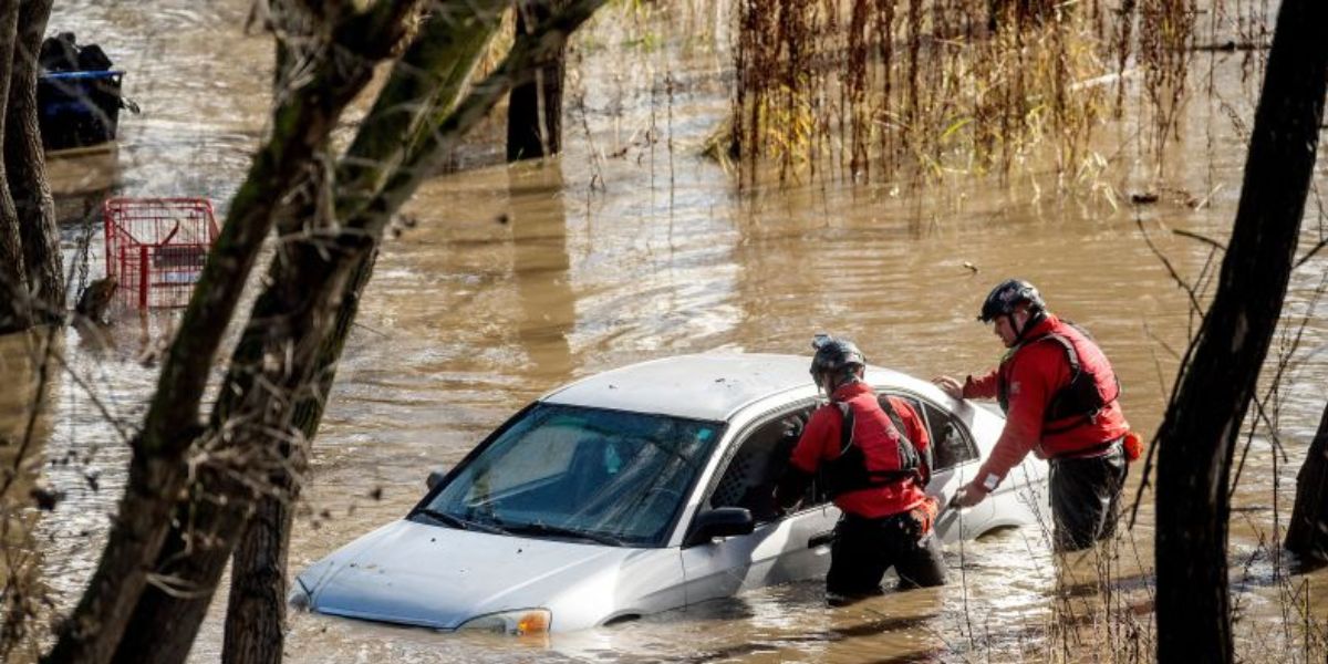
The Danger of Flooding Rain
Although there is a possibility that some isolated locally heavy rain could continue into Saturday in certain areas of the lower Mississippi Valley, the primary risk of flooding rain near the Gulf Coast will continue through Friday into Saturday.
Along and south of the Interstate 10 corridor, from the most eastern part of Texas to southern Louisiana, southern Mississippi, southern Alabama, and the western part of the Florida Panhandle, the heaviest rainfall totals are anticipated to fall with the greatest intensity.
Over the course of Saturday, it is possible that some of those areas will receive more than six inches of rain, with locally greater amounts occurring in areas where bands of rain repeatedly track over the same area.
According to the National Weather Service, flood watches have been issued for the entirety of southern Louisiana as well as certain areas of southern Mississippi.