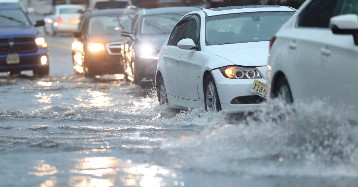
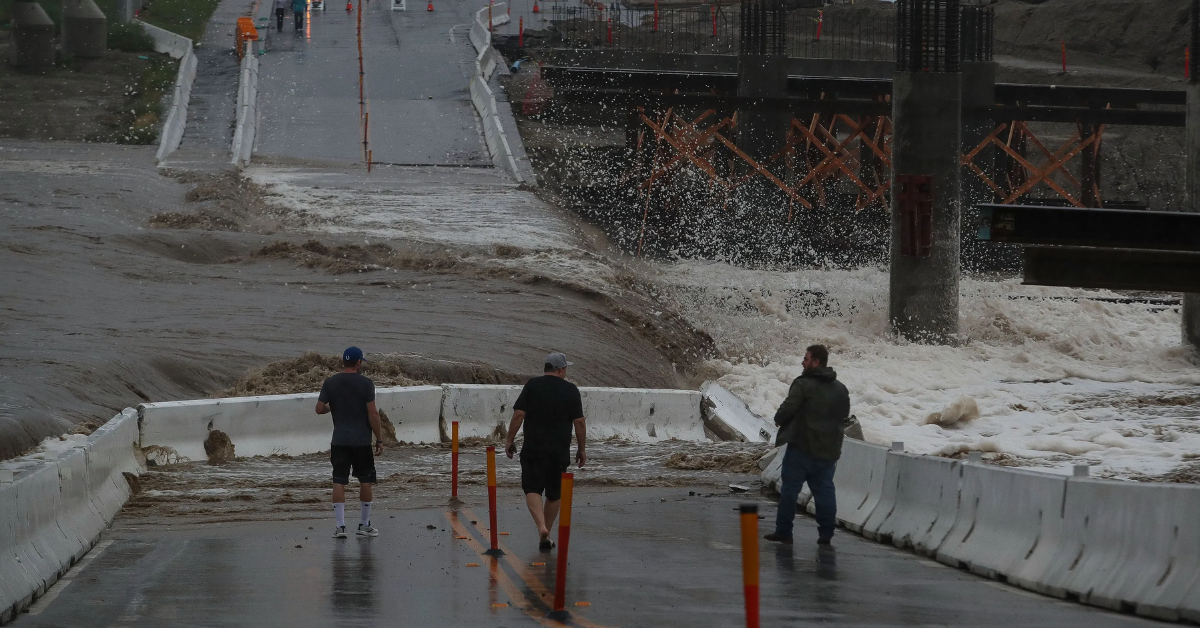
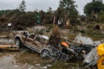
Arizona – A significant weather event is unfolding across Arizona as officials issue a High Risk Flood Watch effective from Thursday through Saturday this week. The approaching soon-to-be Hurricane Lorena is set to bring heavy rainfall and tropical moisture to the state, potentially triggering the strongest flood event of this monsoon season.
The alert comes after weeks of monitoring by Arizona Weather Force, which first predicted the influence of Tropical Storms Kiko or Lorena on Arizona’s weather back on August 30th. As Lorena moves northward through Baja, Mexico, the storm system is expected to produce deep tropical moisture and dynamic upper-level weather patterns that will significantly impact Arizona’s weather conditions.
Forecasted Impact of Hurricane Lorena on Arizona
The main weather force behind the upcoming flood event is the arrival of Lorena, whose trajectory through Baja California is expected to directly influence Arizona’s climate. Meteorologists warn that the combination of sustained tropical moisture and upper atmospheric disturbances will likely amplify the state’s monsoon rainfall.

- High Risk Flood Watch: Active Thursday through Saturday, covering much of Arizona.
- Strongest Flood Event: Potentially the most intense of this season so far.
- Weather Dynamics: Deep tropical moisture combined with upper level dynamics driving heavy storms.
- Weather Monitoring: Continuous updates by Arizona Weather Force recommended.
Raiden Storm, Master General Meteorologist at Arizona Weather Force, advises residents to take this warning seriously and prepare accordingly.
How the Early Forecast Unfolded
Arizona Weather Force has been diligently tracking this developing weather event for days. On August 30th, a proactive forecast was released predicting the possibility of either Tropical Storm Kiko or Lorena influencing Arizona’s weather in early September.
“As Lorena turns north through Baja, Mexico, the influence of the system itself will affect the state, in the form off both deep tropical moisture and upper level dynamics,” stated Raiden Storm. “There is a real chance this will push the monsoon numbers up, being the strongest flood event this season for many of you. So, I would take this warning seriously if I were you and continue to monitor the latest forecasts.”
Precautionary Measures and What Residents Should Know
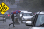
With the possibility of high-risk flooding looming, residents throughout Arizona are urged to stay informed and take precautionary measures:
- Monitor local weather reports regularly throughout the week.
- Prepare emergency kits with essential supplies.
- Avoid traveling through flooded roads or low-lying areas.
- Have evacuation plans in place if living in flood-prone zones.
Stay vigilant, as this weather event may evolve rapidly, increasing the risk of hazardous flooding throughout the region.
Looking Ahead: The Future of Arizona’s Monsoon Season
This weather event highlights the influence that Pacific hurricanes like Lorena can have on Arizona’s climate, particularly during the monsoon season. The interaction of tropical systems and local weather patterns could redefine the rainfall expectations for the region this year.
Experts suggest that such storms might become more influential in shaping the state’s weather patterns in the coming years.