Strong to severe thunderstorms are producing throughout the weekend and far into the next workweek, with just minor daily differences, according to a pattern that doesn’t appear to be slowing down.
There was another round of thunderstorms on Friday, with Tornado Watches that persisted into the evening in many of the areas affected by the severe storms on Thursday.
At its peak, the city of Lubbock, Texas, which was heavily struck by tornadic supercells on Thursday, was among the almost 5 million citizens under Tornado Watches.
There was more severe weather than only Lubbock; a tornado near Van Buren caused damage after a violent thunderstorm in Arkansas. According to emergency management, at least fifty buildings in a neighborhood were damaged.
As the line of storms moved eastward Friday morning, a traffic camera captured a tornado-warned storm as it passed through Fort Smith, Arkansas.
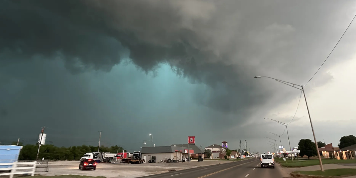
As a tornado-warned storm passed through Sequoyah County on Friday morning, authorities reported seeing what seemed to be a tornado close to Vian, Oklahoma.
The fire department in Luther, Oklahoma, reported that the storms were powerful enough to tear down trees and shut down local roadways.
As a tornado-warned storm passed through Sequoyah County on Friday morning, authorities reported seeing what seemed to be a tornado close to Vian, Oklahoma.
The fire department in Luther, Oklahoma, reported that the storms were powerful enough to tear down trees and shut down local roadways.
Storms are predicted to form every day in the afternoon and evening during the following few days, with some thunderstorm formation occurring overnight due to residual energy.
Read Also: Recurring Weather Pattern Fuels Tornadoes in Texas, Hailstorms in Las Vegas
As the weekend goes on, the threat is predicted to progressively shift eastward.
The Deep South and Southern Plains are at risk of flash floods this weekend due to severe storms
Throughout the weekend, severe storms will be strengthened by tropical moisture from the Gulf, which means they will be able to produce a lot of rain quickly.
At times, rainfall rates might easily surpass 1 inch per hour. Ada, Oklahoma, saw flash flooding as a result of storms that generated enough rain on Friday morning.
Even though the storms are predicted to move rather quickly, the configuration might allow for several rounds of intense rain in some places.
Because of this “training” effect, which occurs when storms keep forming over the same areas, totals might end up being more than 3 inches, and potentially as much as 5 inches.