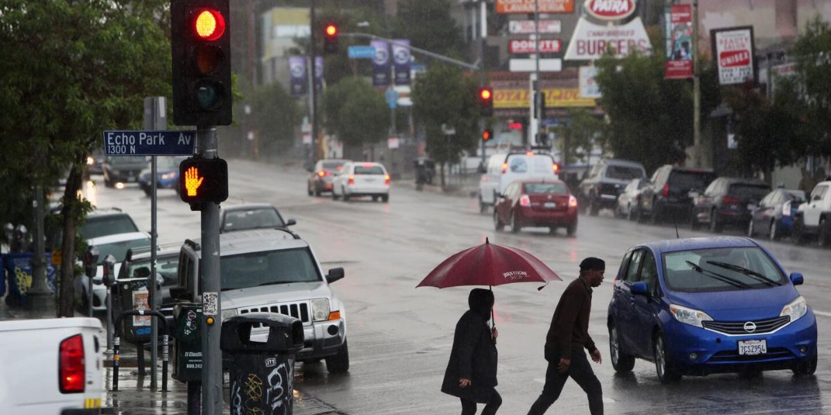
As a result of Tuesday afternoon’s powerful thunderstorms, lightning strikes, torrential downpours, and even pea-sized hail, flash flood warnings were issued throughout Southern California, and beaches were temporarily closed.
The National Weather Service issued warnings about the possibility of lightning strikes close to the coast, hazardous driving conditions, and potentially fatal floods.
Radar revealed 0.5 to 1.75 inches in places under advisories and up to 2 inches in isolated spots under flash flood warnings, while the majority of Los Angeles, Orange, and southern Riverside counties received roughly a quarter inch of rain.
In isolated thunderstorms that produced heavy rain, strong winds, and maybe hail, Santa Clarita, Granada Hills, and Sylmar were under a flash flood warning through 7 p.m. While some regions only received trace quantities of rain, the majority of the county received about a quarter inch.
Todd Hall, a NWS meteorologist, reported seeing pea-sized hail in eastern Los Angeles County.
“We actually have a broad area of central and southern Los Angeles County in the flood advisories,” said NWS meteorologist Ariel Cohen. “That’s because we have numerous areas that have experienced moderate to heavy rainfall in isolated spots of heavy rain.”
According to Cohen, between 7 and 8 p.m., light to moderate showers and thunderstorms were predicted to taper off.
The coast of Orange County saw rainfall totals of about a quarter of an inch, and persistent thunderstorms persisted throughout the evening. Northern Orange County was under a flash flood warning, and low-lying, poorly drained regions were at risk of minor flooding. The flood advisory would be in effect until 8 p.m.
Anaheim, Santa Ana, Huntington Beach, and Fullerton were among the cities impacted by the alert; in certain places, there was 0.5 to 1 inch of precipitation. NWS radars reported less than a tenth of an inch of rain in other areas of the region.
Additionally, into Tuesday evening, a beach hazards statement was still in force due to the high risk of lightning along the coast, severe rip currents, and waves that were between three and five feet high, with occasional sets of six feet.
The most intense downpour A flash flood warning was in force until 7:15 p.m. Tuesday in sections of the Inland Empire, particularly in northern Riverside and San Bernardino counties.
Cities like Riverside, San Bernardino, Fontana, Moreno Valley, Rancho Cucamonga, and Chino Hills were among those under the warning. Radar showed 1 to 2 inches of rain in certain places, while rainfall rates varied from 0.25 to 0.75 inches per hour. Forecasters cautioned that a further 0.5 to 1.5 inches of flash flooding might occur and that it was either continuing or impending.
As of Tuesday evening, radar data estimates indicated more over 1.5 inches in San Bernardino and nearly 1.75 inches in the vicinity of Fontana and Rialto.
According to meteorologist Paul Steward, hail was also reported in some inland locations. Hemet experienced penny-sized hail in the afternoon, according to NWS.
Additionally, cities with 0.5 to more than 1.5 inches of precipitation, including Corona, Temecula, Hemet, Lake Elsinore, and Perris, were under a flood advisory through 8 p.m. Compared to the north, the Corona area experienced less severe storm activity and only received around a quarter inch. Radar estimations indicate that 1.67 inches rained in Temecula and about 2 inches fell in the Estelle Mountain region south of Lake Mathews.
Forecasters predict that most of Southern California will see temperatures in the low to mid-70s on Wednesday, along with calmer, drier conditions.