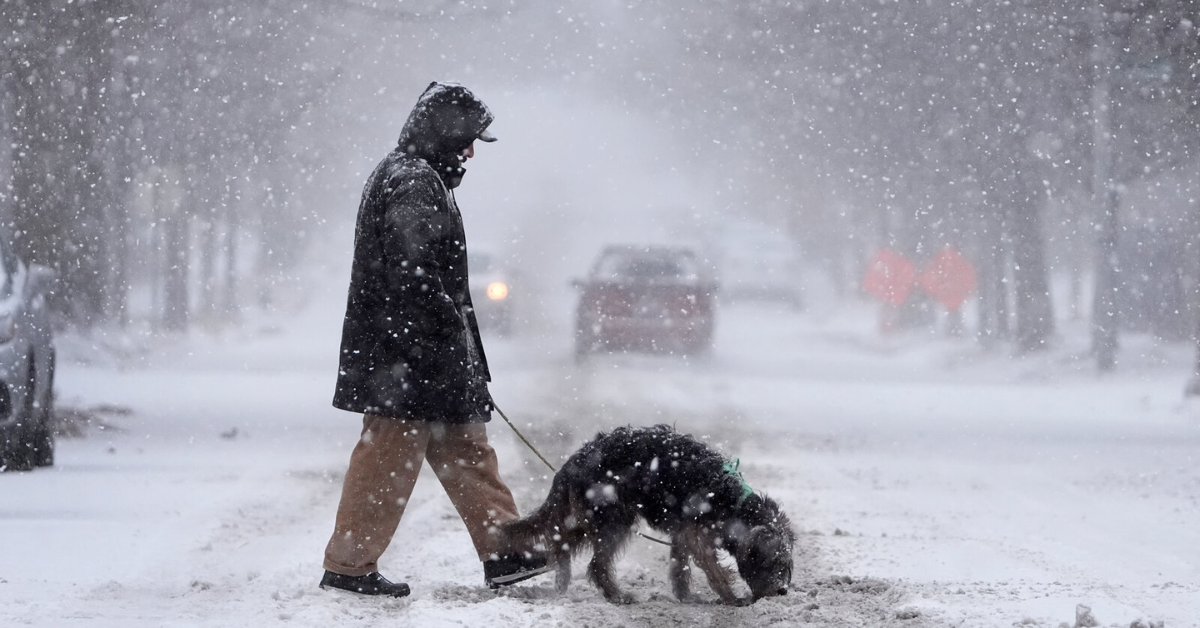

Kansas City, MO – A serene start to the week in Kansas City is set to change dramatically as a powerful cold front approaches, bringing the threat of severe weather to the region. Residents can expect mostly cloudy skies with temperatures in the upper 70s on Tuesday, but the calm will not last long.
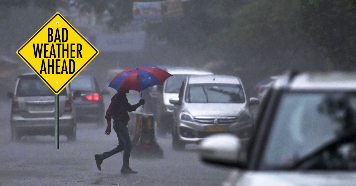
Forecasters from the National Weather Service (NWS) warn that the passage of a strong cold front on Wednesday afternoon will introduce the possibility of severe thunderstorms accompanied by large hail, damaging winds, and even isolated tornadoes. This dynamic weather event demands the attention of all locals as conditions could become hazardous.
Imminent Severe Storm Threat to Kansas City
The NWS is closely monitoring a strong cold front currently near the North Dakota-Canada border, which is expected to move southward and reach the Kansas City area by Wednesday afternoon. This front will trigger severe weather conditions, particularly between 3 p.m. and 10 p.m., with the greatest intensity south of the city.

Key threats anticipated include:
- Large hail capable of causing property damage.
- Damaging winds potentially reaching severe levels.
- An isolated tornado risk that, while low, cannot be entirely dismissed.
- Heavy rainfall exceeding an inch in some localized areas.
The storms may develop into organized clusters of supercells — powerful storm systems known for generating destructive hail and wind gusts. Reflecting this threat, the Storm Prediction Center has designated Kansas City under a marginal risk, the lowest tier for severe weather categories, emphasizing vigilance but not immediate alarm.
“Large hail and damaging winds are the main threats, but an isolated tornado can not be ruled out.”
— National Weather Service
The expected temperatures on Wednesday will reach the mid-80s, slightly warm but conducive to storm development as the cold front advances.
Cooling Temperatures and Possible Weekend Storms
Following the passage of the cold front, Kansas City will experience a significant drop in temperatures starting Thursday, with daytime highs falling 10 to 15 degrees below average to the mid-70s, a notable shift from the mid-80s typically seen this time of year.
The cooling trend continues as a reinforcing cold front moves through on Friday morning, setting likely highs near 70 degrees and bringing potential additional storms. However, these Friday storms are expected to be less intense and unlikely to reach severe levels.

Temperatures will remain cool through the weekend, settling in the low to mid-70s.
What Kansas City Residents Should Know
- Tuesday will start with a stray morning shower mainly south of Interstate 70 but remain largely dry afterward.
- Severe weather threats peak Wednesday afternoon into early evening.
- Monitor local weather alerts closely on Wednesday for updates on severe storm developments.
- Prepare for cooler weather and potential additional light storms on Friday and through the weekend.