
South Texas is expected to experience scattered strong storms in the coming days as a weak cold front interacts with lingering tropical moisture from the Gulf of Mexico. This weather pattern is creating unstable conditions, meaning some areas may see heavy rainfall and the possibility of flash floods. Residents and visitors should stay alert and prepared for sudden changes in weather.
Experts warn that the combination of the cold front and moist air flowing into the region may cause localized flooding, especially in low-lying and urban areas. This situation demands close monitoring from local authorities and weather services to keep the public informed. Understanding the risks can help people stay safe as these scattered storms develop.
How the Weak Cold Front Affects Weather in South Texas
A cold front is a boundary between cooler air and warmer air, often triggering storms when the air masses collide. However, the current cold front moving into South Texas is relatively weak, meaning it does not bring sharply colder temperatures but can still cause instability in the atmosphere. This weak front helps to lift the warm and moist air in the region, which increases storm activity.

The National Weather Service explains that such weak fronts often cause scattered showers and thunderstorms rather than widespread severe weather. Nonetheless, when tropical moisture is involved, the chances of heavy rainfall increase significantly. This can lead to quick flooding given the wet conditions and limited drainage in some areas.
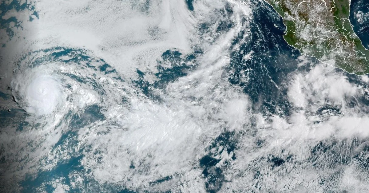
The Role of Tropical Moisture from the Gulf of Mexico
Tropical moisture is the warm, humid air moving inland from the Gulf of Mexico. It acts as fuel for storms, providing the moisture needed for rain and storms to develop. According to the National Oceanic and Atmospheric Administration (NOAA), tropical moisture can significantly amplify rainfall amounts during weather events, especially when combined with frontal systems.
In the case of South Texas, this moist air from the Gulf is interacting with the cold front, leading to the scattered strong storms expected to hit the area. The rich supply of moisture not only increases the intensity of the storms but also raises the risk of flooding, particularly in regions that receive heavy rainfall over a short time.

Flood Risk and Safety Tips for South Texas Residents
The primary concern with these scattered storms is the risk of flash flooding. Flash floods occur quickly and can be very dangerous, especially in urban areas with poor drainage or near rivers and creeks that may overflow. The Texas Division of Emergency Management advises people to avoid driving through flooded roads and to stay informed through local weather alerts.
Residents should also prepare by creating an emergency kit, securing outdoor items, and knowing evacuation routes if needed. Paying attention to weather updates from trusted sources like the National Weather Service and local authorities is essential during this period of unpredictable weather.
Monitoring the Situation and What to Expect Next
Meteorologists will continue to track the weak cold front and tropical moisture combination as it moves through South Texas. The scattered storms may persist over several days with varying intensity. Flood watches and warnings may be issued depending on how much rain falls and the areas affected.

It is important for everyone in South Texas and nearby regions to stay updated with reliable weather information from organizations like NOAA’s Storm Prediction Center. Staying informed helps in making smart decisions to protect life and property during severe weather events.
In conclusion, the mix of a weak cold front and tropical moisture has set the stage for scattered strong storms and a significant flood risk in South Texas. While the exact impact will vary locally, being prepared and vigilant remains the best approach to dealing with this weather threat.